
A primary goal of the Southeast Alaska Watershed Coalition is to connect Southeast Alaskans with the watersheds around us. In doing this, the coalition aims to foster community participation and to support collaborative approaches to watershed management. Integrating our communities with our water resources benefits our ecology, economy, and quality of life.
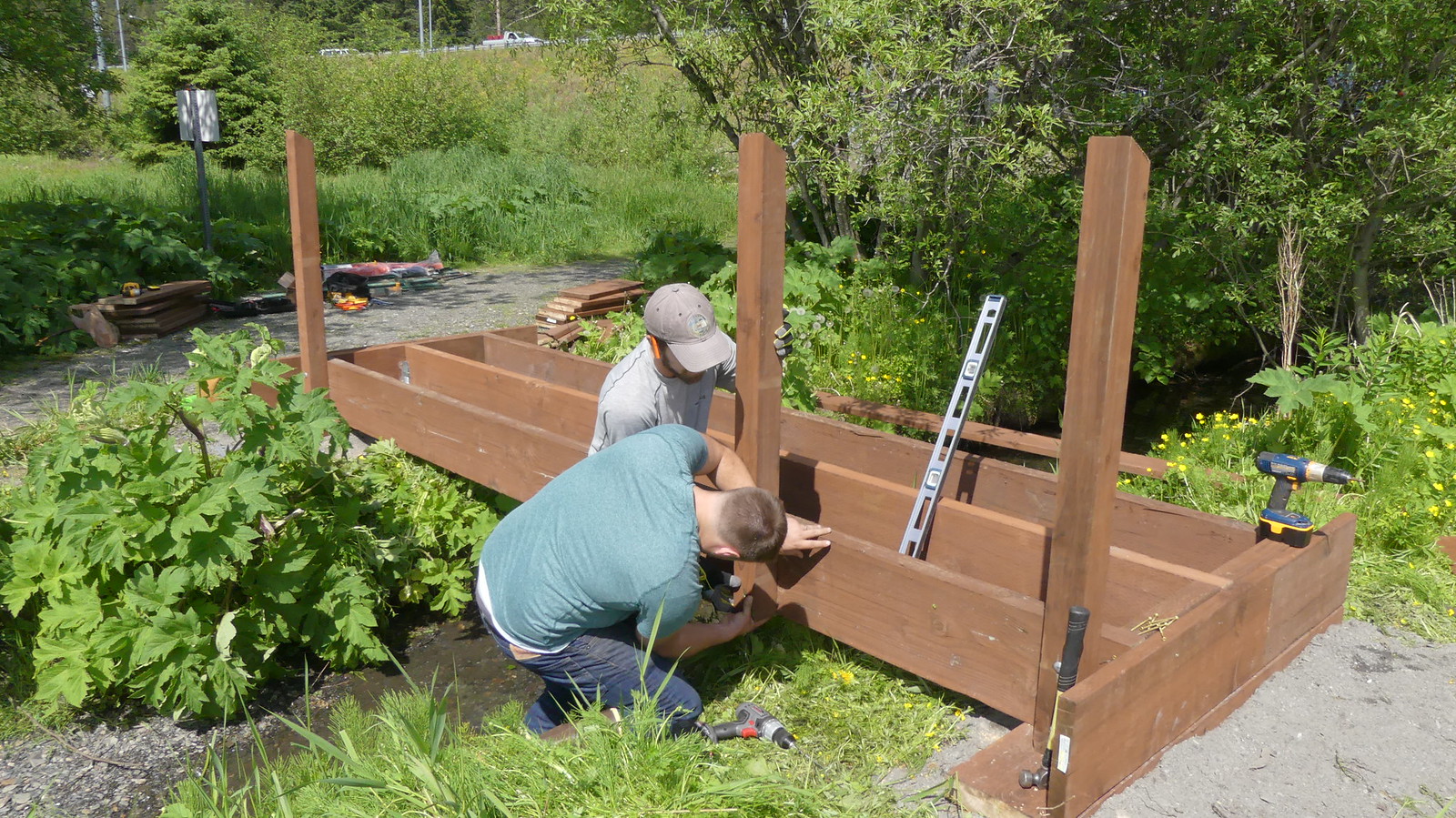
ADFG staff construct a footbridge over West Creek in summer 2019 to reduce erosion.
This interactive application is designed to support the goal of community participation in Juneau. Each point on this map is a location of past or future restoration activities. Nearly 40 different waterbodies within the Juneau area are organized into different tabs, and selecting a waterbody will highlight their associated projects. The user can zoom in on the map to look closer at different areas – and see what may be happening in the neighborhood. Clicking on the different points will open up more information about a particular project.
The interactive mapper is important for two main reasons:
1.) It helps us prioritize current and future activities2.) It allows you to know what going on in your backyard
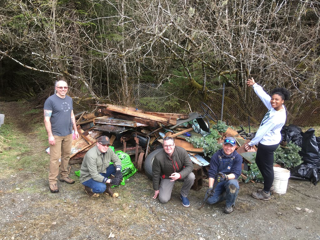
Coast Guard volunteers pose with debris and garbage removed from Switzer Creek riparian area.
Take a walk down your street in the mapper and see what you can find! There may be more locations with restoration potential– help us find them.
To stay up-to-date with our current news and project updates, subscribe to our monthly newsletter.