This project began in 2012 with the intention of
Identifying potential aquatic resource mitigation sites throughout Southeast Alaska
Starting in Haines, SAWC spent several months researching potential mitigation sites in the region. The beginning stage of this project entailed a steep learning curve in order to identify sites that meet the criteria necessary for mitigation purposes. Research involved in this site selection process was mostly completed in the office before visiting the site, by way of compiling and analyzing high resolution satellite imagery of the area. This imagery was viewed in both ArcGIS as well as Google Earth in order to overlay specific features such as the shapefile for anadromous fish streams, which provides a more in depth picture of a specific area.
Haines, Skagway and Juneau are the first three communities in Southeast Alaska that have been assessed for this pilot project. SAWC has identified at least 10 sites in these three communities and hopes to continue these efforts in every community in Southeast Alaska over the next few years.
Project GOALS:
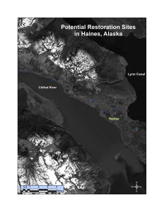
This is an example of a Google Earth map illustrating a potential restoration site in the Haines area.
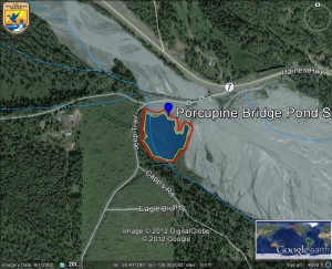
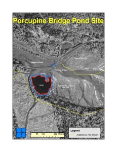
This rudimentary map was created in ArcGIS to display the area of the potential restoration site including a buffer around the site for mitigation purposes. The site is in close proximity to an anadromous fish stream, according to the Anadromous Waters Catalog (AWC) and within a few hundred meters of the Klehini River.
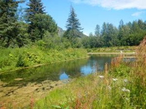
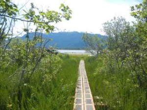
These photos were taken at several potential restoration sites in Haines. Each site has specific features that warrant mitigation based on the functions and values associate with the site.
